The irritation
RevOps teams need geographic ownership rules, but changing a territory can silently reassign companies, disrupt routing, and leave no trustworthy way to explain or undo the result.
A live early-access HubSpot app for assigning U.S. ZIP codes to company sales territories and simulating ownership changes before any approved owner writes.
Built because…
RevOps teams need geographic ownership rules, but changing a territory can silently reassign companies, disrupt routing, and leave no trustworthy way to explain or undo the result.
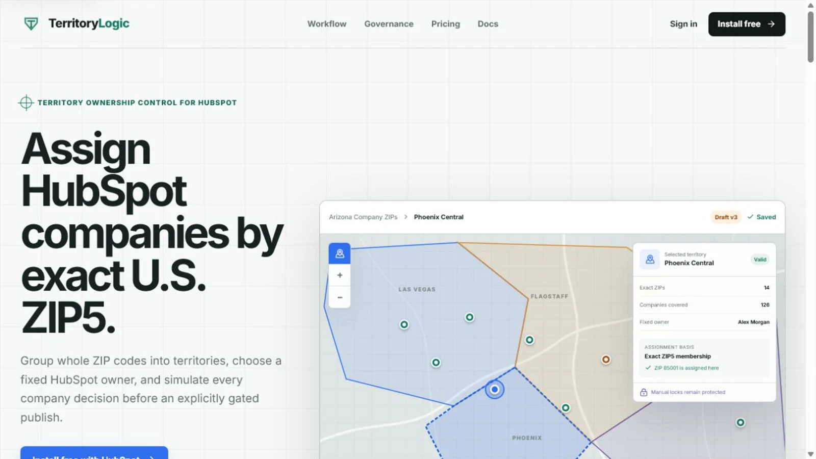
I built a ZIP-first HubSpot Marketplace app where teams assign whole U.S. ZIP5 codes to hierarchical company territories, combine them with CRM criteria, save revisions, simulate the exact record impact, and prepare guarded publication and rollback.
The system has to preserve tenant isolation and immutable evidence while it re-reads HubSpot before every write, handles drift and retries, and refuses to publish when the saved simulation is no longer safe.
Under the casing
Scope of work
No victory-lap math
TerritoryLogic is live in public early access with self-service read-scope installation, a hosted console, company and ZIP sync, drafts, and read-only simulation. General live owner writes remain restricted to separately approved and reauthorized portals; paid billing and several release gates are unfinished.
Operational software should make consequences visible before it changes a CRM. Simulation, final re-reads, recovery, and rollback are core product behavior, not back-office details.
In the playable workshop, TerritoryLogic lives in the Systems & Maps Lab as a illuminated map table. You can inspect it without unlocking anything.